
In meteorology, a cyclone is an area of low atmospheric pressure, characterized by the existence of a spin into the wind and the surrounding area of low pressure. Cyclone became a general term which is then coupled with the use of the term or in other words, such as tropical cyclones and extra-tropical cyclone, as a more specific sense restriction to describe various meteorological phenomena associated with the system barometric (atmospheric pressure/air) is low. Cyclone itself is currently divided into six major groups, namely the polar cyclone, Polar low cyclone (polar low), extra-tropical cyclones, subtropical cyclones, tropical cyclones, and the meso-cyclone.
The origin of the term cyclone is not so clear. The possibility of this term is taken from the Greek word that is kyklon which means "moving in a circle or spin." Alternatively, the term cyclone is derived from the Cyclops, the name of the creature in Greek mythology who had one eye, and hence it is used based on the likeness of cyclones that have one eye in the center of rotation of the wind. The term cyclone is also first used by Henry Piddington around 1840. Piddington took from the Greek word which means the winding Cyclos a serpent, and therefore it is used based on the similarity with the form of tropical storms that occurred in the Arabian Sea and Bay of Bengal.
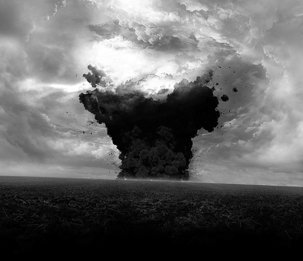
Cyclones are low pressure center of a giant system that rotates. This system requires a supply of moisture from the warm sea to move the machines that gahar konvektifnya cloud. Armed with an abundance of water vapor from the ocean, the system is capable of generating energy up to 10 times greater than the energy released in the Hiroshima atomic bomb.
In Asia, especially in the western Pacific, hurricanes are known as a powerful typhoon. In the West, especially in the Atlantic and America, the symptoms of severe weather are called hurricanes, while in the Indian Ocean are called cyclones. Name may be different, but they grow with the same sign, ie when sea temperatures rise at least to 27 degrees Celsius to a depth of 80 meters. Warm sea that it should be combined with a mass of air in the upper atmospheric layers of cool to be able to move the moisture from the sea became a source of energy for a vortex of wind.
Having grown from the sea, a storm that rotates it "kicked out" wind speed over 120 kilometers per hour. Its behaviour who suck large amounts of water are also often dumped back in the form of heavy rain, plus strong winds and landslides in the great flood.
In North America, hurricanes begin life from the seed of a tropical depression on the west coast of Africa in the summer. This depression has a maximum power of the circular winds 38 miles per hour.
Along with the movement to the west and slightly deviated to the north, the more water vapor from the ocean pool (basin) of sub-equatorial warm absorbed. When the wind is swirling join forces to grow into 39-73 miles per hour, plus the rain began to fall on the outer side of the system, the meteorologists agree that a tropical depression has been transformed into a tropical storm.
It should be noted that not all depression grew into a hurricane. In each season, only 10 percent could go beyond that initial phase. If the storm did not rush to the mainland United States, but continues to grow in the ocean (two of the 10 storms of this growth), the power of the wind can touch the violent crushing hurricanes status. Here will usually be used Saffir-Simpson scale. With the classification of one to five based on the maximum power kick out of the wind that causes minimal damage to the structure of the terdahsyat destroy any buildings.
In addition to wind, storm clouds swirl indication of this growth can be characterized also by the lack of air pressure and heightened ocean waves. To be sure, raging hurricanes can last two to three weeks. He has yet to be defeated before it hits land or colder ocean.
The origin of the term cyclone is not so clear. The possibility of this term is taken from the Greek word that is kyklon which means "moving in a circle or spin." Alternatively, the term cyclone is derived from the Cyclops, the name of the creature in Greek mythology who had one eye, and hence it is used based on the likeness of cyclones that have one eye in the center of rotation of the wind. The term cyclone is also first used by Henry Piddington around 1840. Piddington took from the Greek word which means the winding Cyclos a serpent, and therefore it is used based on the similarity with the form of tropical storms that occurred in the Arabian Sea and Bay of Bengal.
Cyclones are low pressure center of a giant system that rotates. This system requires a supply of moisture from the warm sea to move the machines that gahar konvektifnya cloud. Armed with an abundance of water vapor from the ocean, the system is capable of generating energy up to 10 times greater than the energy released in the Hiroshima atomic bomb.
In Asia, especially in the western Pacific, hurricanes are known as a powerful typhoon. In the West, especially in the Atlantic and America, the symptoms of severe weather are called hurricanes, while in the Indian Ocean are called cyclones. Name may be different, but they grow with the same sign, ie when sea temperatures rise at least to 27 degrees Celsius to a depth of 80 meters. Warm sea that it should be combined with a mass of air in the upper atmospheric layers of cool to be able to move the moisture from the sea became a source of energy for a vortex of wind.
Having grown from the sea, a storm that rotates it "kicked out" wind speed over 120 kilometers per hour. Its behaviour who suck large amounts of water are also often dumped back in the form of heavy rain, plus strong winds and landslides in the great flood.
In North America, hurricanes begin life from the seed of a tropical depression on the west coast of Africa in the summer. This depression has a maximum power of the circular winds 38 miles per hour.
Along with the movement to the west and slightly deviated to the north, the more water vapor from the ocean pool (basin) of sub-equatorial warm absorbed. When the wind is swirling join forces to grow into 39-73 miles per hour, plus the rain began to fall on the outer side of the system, the meteorologists agree that a tropical depression has been transformed into a tropical storm.
It should be noted that not all depression grew into a hurricane. In each season, only 10 percent could go beyond that initial phase. If the storm did not rush to the mainland United States, but continues to grow in the ocean (two of the 10 storms of this growth), the power of the wind can touch the violent crushing hurricanes status. Here will usually be used Saffir-Simpson scale. With the classification of one to five based on the maximum power kick out of the wind that causes minimal damage to the structure of the terdahsyat destroy any buildings.
In addition to wind, storm clouds swirl indication of this growth can be characterized also by the lack of air pressure and heightened ocean waves. To be sure, raging hurricanes can last two to three weeks. He has yet to be defeated before it hits land or colder ocean.
 |
| Anatomy of a cyclone. (Picture from: http://www.abc.net.au/) |
 |
| Structure of A Tropical Cyclone on Northern hemisphere. (Picture from: http://www.mapsofworld.com/) |
 |
| Structure of A Tropical Cyclone on Southern hemisphere. (Picture from: http://www.mapsofworld.com/) |
All types of cyclones generally have several common features that can be recognized from the structure. That characterize the structure of a cyclone which have a central part of what became known as the eye. The eye of a cyclone is nothing but air at low pressure area. In the area around the center or eye, the pressure gradient force (the ratio of the pressure at the center and outside the cyclone center) and koriolis style is always close to equilibrium state.
Around the eyes there is a section known as the eye wall. Wall of the eye is an area with very high wind forces. In addition to the eye and eye wall, the band also appeared at the edge of the storm consisting of rain (ice), hurricanes, lightning and thunder.
Another feature that is not less unique than a cyclone is the rotation direction of the wind. In the Northern Hemisphere, the cyclonic swirl counter-clockwise. Whereas in the southern hemisphere, clockwise. Difference is due to the rotational direction of the wind force is zero at koriolis the equator and reaches a maximum value at the poles. *** [GUN GUN GUNAWAN | PIKIRAN RAKYAT 16022012]
Note: This blog can be accessed via your smart phone.